.png)
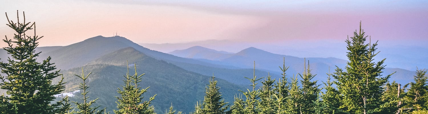
Hiking in Madison County is some of the best in this corner of the state. The high elevation in some parts makes for breathtaking views while the hollows in others showcase undisturbed flora and deep, rich foliage. The neighboring towns of Marshall and Hot Springs are home to many of the best hikes and are just a short drive from Mars Hill. Below, we've highlighted a few of our favorites in the county.
Max Patch
Max Patch is a beloved trail in Madison County that is rated for moderate difficulty. It offers stunning 360-degree views of the mountains in the distance and an excellent sampling of local flora and fauna. A 3.5-mile loop trail, Max Patch is also dog-friendly! It can be quite a busy location during the warm months - visitors can expect to see families picnicking, tossing around a baseball, playing music, or practicing photography! To access this trail from Downtown Mars Hill, head west on NC-213W/ Cascade St. After about 7.3 miles, turn right to stay on NC-213 W. After a brief 325 ft, turn right onto US-25 N/US-70 W. Continue on for 7.2 miles before making a right onto Meadow Fork Rd. Travel 5.3 miles, then turn right onto State Rd 1181/ Little Creek Road. Continue on for 3.5 miles, then turn right onto State Rte 1182. After about 1.6 miles, the Max Patch trailhead will be on your right.
Appalachian Trail: Sam's Gap to Hog Back Ridge Shelter
Sam's Gap to Hog Back Ridge Shelter is a moderate 4 mile out and back hike in Mars Hill. The trail, though only lightly used, is quite easy to follow and the views along the way are lovely. Hog Back Ridge Shelter is a fantastic place for a picnic, so hikers should plan on packing a lunch to enjoy at the halfway point. To access this trail from Downtown Mars Hill, head East on Cascade St toward N Main St before continuing onto NC-213 E. Travel a mile, then turn right onto the I-26W ramp. Continue on the interstate for 7.3 miles, then take exit 3 toward US 23A/Wolf Laurel. Turn right off of the exit ramp onto US-23 ALT A. After a brief .1 miles, turn left and continue onto Flag Pond Rd. The trailhead will be about 400 ft ahead.