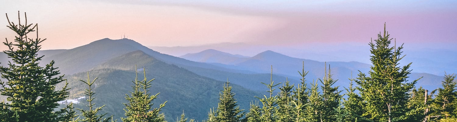
Basin Loop at Bent Creek
Bent Creek is one of our favorite places to ride - in part because it's so accessible to Asheville, but also because it provides a wide array of trails at varying levels of difficulty! The "Basin Loop" is an easy 7.5 mile loop that takes you through a great sampling of what Bent Creek has to offer. Comprised of numerous smaller segments, this fun string of trails stays off the steep paths, instead taking you through a lot of short climbs, followed by short (but fun!) downhill sections. If your endurance isn't up to miles-long uphill grinds, this is a great place to start.
Watch a full-length video of the Basin Loop, explaining turn-by-turn trails below!
Directions:
- Start in Bent Creek, at the 3rd (and final) trail head, called "Ledford Branch."
- From the trail head, next to the restroom building, is a trail called "Deer Lake Lodge" - take this trail and follow it until it T's.
- At the T, turn left into an immediate short downhill section, followed by a short uphill, then another short-but-fast downhill jump section. This is called "Downhill Powerline Jumps." At the end of this segment, the trail will T again.
- Turn right at the T (you'll have to turn around after exiting Downhill Powerline Jumps, due to the angle it puts you at on the T), and follow this trail a short while. Right before you cross a wooden bridge, you will see "Hardtimes Connector" trail to the right. Take the right.
- Hardtimes Connector will bring you back to the main road. The trail continues directly across the road, but please watch for traffic! [Note: at this point, you can turn right on the road and it will take you directly back to Ledford Branch and your car. This is the first bail-out point on the loop.
- After crossing the road, you'll continue on Hardtimes Connector through a decent uphill portion. When you reach the log obstacle beside the trail at the crest, you're done with the climb! Enjoy a short downhill section as your reward, until the trail T's again. **The downhill has a few small jumps, and you gain speed quickly, then it suddenly dumps you into two switchbacks - be careful here or you will end up in the woods!**
- At the T, turn left and follow a very short distance until the trail joins the creek at a semi-T. Follow the main trail to the right, along the creek. [Note: This is the second bail-out point. At the first T, at the bottom of Hardtimes Connector, if you turn right, you'll quickly be back on the main road. Turn left onto the main road and you'll be at Ledford Branch in no time.
- You'll quickly come to a concrete bridge across the creek on the left. Take this bridge. Immediately across the creek, you'll see Homestead Trail open to the right. Take Homestead Trail.
- Homestead is a technical portion, full of rocks and roots, and follows along the creek with plenty of rest spots to enjoy the day by the water!
- When you cross the wooden bridge at the end of Homestead, you'll be at the Lake. This is another great spot to relax for a bit. You'll see the "No Bikes" sign straight ahead, so turn left at that sign and head away from the lake up the gravel road.
- At the top of the gravel road, you'll find yourself in a large parking lot. Extra points if you can ride all the way down the long, low stone parking divider! Continue straight through the parking lot to the paved road that exits. Enjoy a long, downhill coast.
- At the bottom of the downhill coasting, you'll come to a 4-way intersection. Turn left, and you'll quickly go between two large rocks and back onto double-track trail. [Note: This is the third bail-out point. At the 4-way intersection, continuing straight through and up the paved road will lead you past the guard shack, and then back to Ledford Branch.
- Follow the double-track trail through a long flat section, along the side of the creek. You'll cross a narrow wooden bridge, and then be at a gravel road. Continue straight across the gravel road onto the Fire Access Road (pass around the gate). [Note: this is the final bail-out point. Turning right onto the gravel road will lead you up and over a large hill, and directly back to Ledford Branch.
- Continue on the FAR for a decent uphill segment. When you come across picnic tables beside the road, you're at the head of "Boyd Branch."
- Head down Boyd Branch. You'll immediately go through some small rock steps, followed by a creek crossing, and then onto a fast, flowing trail. At the end of Boyd Branch, you'll T back into the gravel road.
- Turn left on the gravel road, and after a short climb, you'll have a long, fast downhill coast that will lead you back to Ledford Branch.
- You've just completed the Basin Loop! This trail should take anywhere from 35 minutes to 1.5 hours, depending on your speed and knowledge of where to go, and amount of rest breaks. Riding it straight through with no breaks at a moderate pace takes approximately 40 minutes. Enjoy!
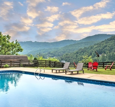
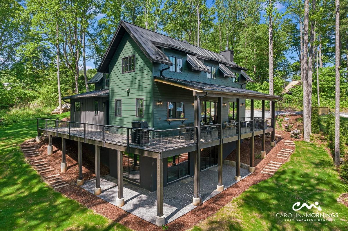 Where to Stay
Renting a vacation home through Carolina Mornings is the first step to planning a truly memorable adventure in the mountains. With rentals situated all over Western North Carolina, we're confident that you'll find precisely what you're looking for in a cabin rental! To begin the process of planning your ultimate mountain excursion, contact one of our dedicated and knowledgeable Vacation Coordinators. They'll work with you to find the perfect home and to help tailor a vacation that fits all of your needs. To learn more about renting your first cabin in the area, contact Carolina Mornings at (844) 412-6881. Be sure to ask about our Mountain Discovery Pass, included with every Carolina Mornings Rental!

.jpg)
.jpg)
.jpg)