 (1).png)
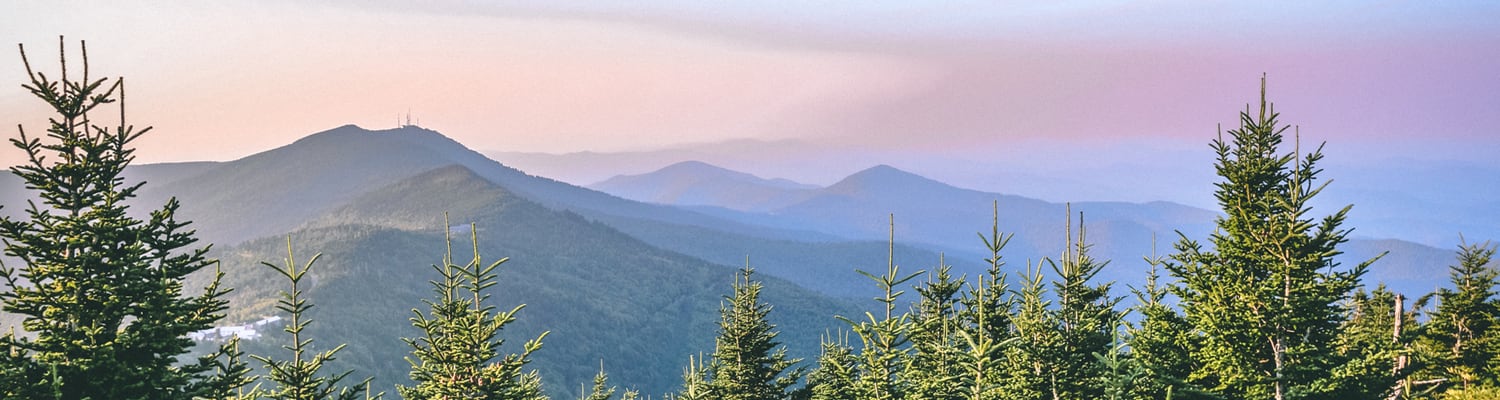
Burnsville is in a prime location for trail access in the Blue Ridge Mountains. Mountain bikers, avid hikers, nature lovers, and casual strollers find themselves drawn to the majestic beauty of the area and awestruck upon departure. Alive with the sweet trill of songbirds, vibrant with the splash of wildflowers, the mountains and valleys in Burnsville offer visitors something unique and powerful to take home with them. Below are some popular hikes of which to take note:
Briar Bottom Trail
A short 1.2 mile trail, Briar Bottom follows the South Toe River upstream. Hikers will pass though hemlock groves before crossing rustic bridges built from the forest’s yellow locust trees. Expect an easy hike with plenty of bird sightings. To get to this hike from Downtown Burnsville, travel East on US 19E to Highway 80 South. Travel 11.6 miles on 80 South, passing the Mt. Mitchell Golf Course, then turn right on Forest Service Road 472. The road will turn to gravel before arriving at an intersection - take a right at this intersection. Follow the road until you reach a parking lot where you will see a bulletin board with trail maps and area information.
Higgins Bald Gap Trail
A more moderate hike, Higgins Bald Gap Trail is a 1.3 mile section of the Mountains to the Sea Trail. Hikers can expect to see plenty of local flora and fauna as they pass through the breathtaking beauty of red spruce groves. To get to this hike from Downtown Burnsville, follow directions to Briar Bottom Trail - there are multiple trailheads located at the parking lot.
Bald Knob Ridge Trail
Also rated "moderate”, the Bald Knob Ridge Trail extends 2.8 miles up a ridge before reaching a summit which offers breathtaking and expansive views of the Black Mountains. Though the switchbacks provide for a difficult ascent, the sight from the top is well worth the effort. To get to this hike from Downtown Burnsville, follow directions to Briar Bottom Trail. Instead of pulling in to the parking lot on Forest Service Road 472, continue on until you pass the Buncombe Horse Range Trail Sign. Bald Knob Ridge Trail is marked with a trailhead sign.
Mt. Mitchell Trail
Mt. Mitchell Trail is a strenuous 5.5 mile hike that leads to the peak of Mt. Mitchell. Hikers will finish the hike at an elevation of 6,684 ft – an excellent feat of endurance which will end with a rewarding view of the mountains and valleys below. The Mt. Mitchell State Park Museum is conveniently situated at the end of the journey. To get to this hike from Downtown Burnsville, follow directions to Briar Bottom Trail. The trailhead is located next to the bulletin board at the edge of the parking lot.